


The Plateau of the Three Peaks represented a well-defined combat sector both on the Austrian side with the creation of the Kampfabschnitt I Drei Zinnen, included in the Grenzunterabschnitt 10b of the Rayon 5 Pustertal, and on the Italian side, which included the Lavaredo-Oberbacher sector (later called III subsector Cadore), zone 1 (Lavaredo-Longeres).1Pozzato and Volpato, Guerra sulle Tre Cime e Dolomiti di Sesto, pp. 9-13.
After the first (and only) significant movements of the front in the area during the summer of 1915, the Austrian lines of the sector, seen from west to east, passed through the Passo Grande dei Rondòi/Wildgrabenjoch, Torre dei Scarperi/Schwabenalpenkopf, Calotta Ovest/Kuppe West, Calotta Est/Kuppe Ost, Torre di Toblin/Toblinger Knoten, Forcella di San Candido/Innichriedl up to the Punte di Sassovecchio/Altensteinspitze. The Italian ones started from Forcella Col di Mezzo/Zinnenkuppenpass, the Three Peaks of Lavaredo, Forcella Lavaredo/Paternsattel, Croda Passaporto/Passportenkopf, Sasso di Sesto/Sextenstein, Monte Paterno/Paternkofel, Forcella del Camoscio/Gamsscharte and ended in Pian di Cengia/Buellelejoch.2Kübler and Reider, Kampf um die Drei Zinnen, pp. 17-19.
The entire area, consisting of high mountain terrain without any genuine communication routes, did not lend itself to the actions of large units, nor did it offer any real possibility of breakthrough operations with decisive tactical value. On the other hand, it was bordered by two important routes of penetration towards the fundamental nodes of Val Pusteria/Pustertal and Cadore. It therefore lent itself, on both sides, to constituting an authentic square for the batteries that could exert a flanking action towards the valleys. For this reason, especially in the first year of the war, it was the scene of harsh local clashes.3Archivio dell’Ufficio storico dello Stato Maggiore dell’Esercito, Roma, Monografie del I Corpo d’Armata – Genio – Sistemazione difensiva, AUSSME_B1_110D_23A.
Some geographical descriptions of the Italian front of the plateau can be read in a monograph of the I Army Corps of 1917:
“The main orographic characteristic of this area is represented by huge rocky massifs, difficult to access, such as the Tre Cime di Lavaredo [Drei Zinnen], Cima Passaporto [Passportenkopf], Monte Paterno [Paternkofel], which constitute the displuvial between the Schwarze Rienz [Rienza Nera] and the head of the Rio Marzon [Wildbach]. From the western peak of Lavaredo the terrain slopes down to Forcella Col di Mezzo rather harsh and difficult…. The Western Peak of Lavaredo, together with the Great and Small ones, forms a huge rocky block, with sheer walls, which clearly separates two plateaus: the northern one (Lange Alpe-Sattele Berg) [Grava Longa-Col Forcellina] from the southern one of Lavaredo. These plateaus communicate with each other with the two passes of Forcella Col di Mezzo and Forcella Lavaredo, and fall to the north overlooking the Schwarze Rienz [Rienza Nera] and to the south also overlooking the Rio Marzon. The Cima Piccola di Lavaredo falls to the east with a vertiginous wall on Forcella Lavaredo, to the east of which rises the cliffs of Cima Passaporto, from whose summit two ridges depart: one heading north ends at the Toblinger Knoten [Torre di Toblin], whose pass at the Drei Zinnen Hütte [Tre Cime Hut] connects the head of the Schwarze Rienz [Rienza Nera] with that of the Boden Bach; the other descends to the Forcella del Camoscio, crossing a series of impervious spires, and ends at the east fork that connects Monte Paterno at an altitude of 2665”.
The monograph also includes a brief geographical description of the Austrian front:
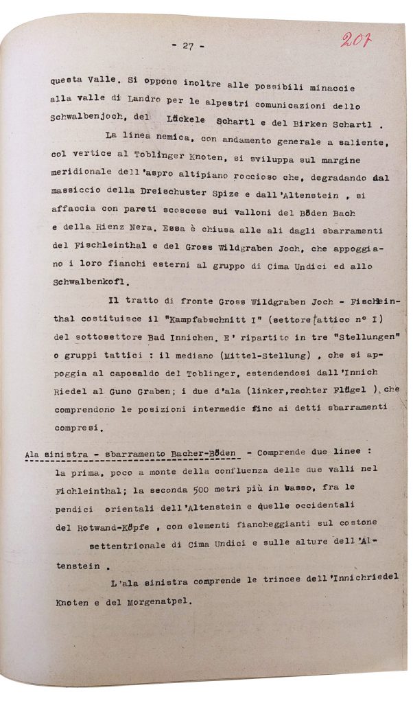
“The enemy line, with a general salient trend, with the summit in the Toblinger Knoten [Torre di Toblin], develops on the southern edge of the rugged rocky plateau which, degrading from the Dreischusterspitze massif and the Altenstein [Punta dei Tre Scarperi and Sassovecchio], overlooks the steep walls the valleys of Boden Bach and Rienza Nera. It is enclosed on the wings by the barriers of the Fischleinthal [Val Fiscalina] and the Gros Wildgraben Joch [Passo Grande dei Rondòi], which support their outer flanks on the Cima Undici Group and the Schwalbenkopf [Torre dei Scarperi]”.
There are also some considerations on vegetation and climate:
“The lower part of the region under consideration is covered by coniferous forest, consisting of spruce, silver fir, and larch; however, these last species are found only sporadically. Pushing higher, however, and especially to the heads of the valleys already examined, you meet the mountain pine and rhododendron, and some rare specimens of larch. In the immediately higher areas there is little herbaceous vegetation, while in the overlying areas there is no trace of plant life… The climate is characteristic of the higher Alpine regions. Snowfall in October-April, with a maximum in January. Snow remains on the highest peaks until the end of May. Heavy rains from May to October; Frequent fogs, especially autumn. The minimum winter temperature is often lowered during the night to -30 °, during the day it rises to 0°”.4Archivio dell’Ufficio storico dello Stato Maggiore dell’Esercito, Roma, Monografie del I Corpo d’Armata – Genio – Sistemazione difensiva, AUSSME_B1_110D_23A.
(GF)
Kübler, Peter and Hugo Reider (1997). Kampf um die Drei Zinnen. Das Herzstück der Sextener Dolomiten 1915-1917 und heute. Bozen: Athesia.
Pozzato, Paolo and Paolo Volpato (2015). Guerra sulle Tre Cime e Dolomiti di Sesto. Lavis: Litotipografia Alcione.
Monografie del I Corpo d’Armata – Genio – Sistemazione difensiva, AUSSME_B1_110D_23A, Archivio dell’Ufficio storico dello Stato Maggiore dell’Esercito, Roma.
Three Peaks Hut
The decision to construct a hut at the Forcella di Toblin/Toblinger Riedl was decided in 1881 by the Alta Pusteria/Hochpustertal section of theDeutscher und Österreichischer Alpenverein (Austro-German Alpine Club). The place chosen was the pass in front of the Three Peaks, above the lakes called the Bödensee/Laghi dei Piani: a perfect position for offering tourists and climbers a foothold at high altitude. The central commission of the Alpine club granted a grant of 600 Florins and the municipality of Sesto/Sexten granted the land free of charge. The inauguration took place on July 25, 1883. In the following decades, numerous interventions expanded the building, raising it and making it more suitable to accommodate a greater number of people. From 1898, the hut was managed by Sepp Innerkofler.5Kübler and Reider, Kampf um die Drei Zinnen, pp. 89-95.
With Italy’s entry into the war on May 23, 1915, the fate of the building was sealed. The bombing of the hut and the subsequent fire, which took place on May 25, 1915, were taken as an Italian retaliation for the destruction of the barracks below the Forcella Lavaredo/Paternsattel, which took place on the same day under artillery fire commanded by Captain Jaschke.6Kübler and Reider, Kampf um die Drei Zinnen, p. 21. In fact, in a dispatch dated May 24, 1915, the Italian commander of the subsector, Major General Fabbri, wrote to Major Buffa di Perrero, commander of the Cadore battalion:
“… it seems that the battery that was on the plane of Lavaredo, could from a suitable position open fire in the direction of the Drei Zinnen Shelter [Three Peaks Hut] trying to make it uninhabitable and hindering and destroying the enforcement works that around these important positions [you] are carrying out by the enemy. The petty trick of hoisting the flag with the Red Cross on the Austrian shelter must not keep us from destroying it”.7Archivio dell’Ufficio Storico dello Stato maggiore, Roma, Diario Brigata Marche, AUSSME_B1_133S_583C, 24 maggio 1915.
The bombing order, therefore, had already been issued on May 24, and it is possible to note how the lack of consideration for the symbol of the Red Cross from the first day of the conflict demonstrates the incredible cruelty of the war. The destruction of the shelter, also described in the diary of Sepp Innerkofler, who saw it from the top of the Paterno/Paternkofel, represented the erasure of an iconic site for the inhabitants of the area.
A few years after the end of the conflict, the re-established Alta Pusteria section of the South Tyrolean Alpine Club began to rebuild the Three Peaks hut. A few weeks later, however, the Italian authorities withdrew the concession to the manager and in 1923 dissolved the local mountaineering associations, expropriating the shelters to assign them to the Italian Alpine Club (CAI). The CAI of Bolzano/Bozen and Padua proceeded to undertake new construction. The reopening of the hut took place in 1937 with the name “Rifugio Antonio Locatelli alle Tre Cime di Lavaredo,” in memory of Major Locatelli of the Italian Air Force, who had been killed in the Abyssinian War. Antonio Locatelli (1895-1936) was born in Bergamo and had flown in the First World War as an aviator, with Gabrielle D’Annunzio among others, over Vienna. Already a member of the fascist movement from 1920, he was also a member of Parliament from 1924-1928. After expeditionary flights in the Andes and Greenland, he volunteered for the East African War in 1936 and enthusiastically flew bombing missions against the civilian population. After Locatelli’s death in 1938 in an ambush at Lechemti in Ethiopia, a cult of heroism began that has rarely been critically questioned to this day. As early as 1936, the president of the CAI determined that the Three Peaks Hut, formerly named after Sepp Innerkofler, would be named after Antonio Locatelli. This stands as one of the examples of Italian-Fascist ideological occupation of the Dolomite War and thus the nationalization of the alpine landscape. After the Second World War, the refuge became the property of the CAI (Club Alpino Italiano) Padua, which had it rebuilt, kept the name and, from 1949, entrusted the management to the Reider family from Sesto/Sexten, which still manages it today. In 2008, in a solemn ceremony, the building was also named after Sepp Innerkofler; the name of the famous hut host and mountaineer who had fallen on the Paternkofel was added to that of Antonio Locatelli.8Kübler and Reider, Kampf um die Drei Zinnen, pp. 96-99. In the entrance area of the hut there is an altar-like arrangement with a Black Madonna, a photograph of Antonio Locatelli, and a bronze plaque in relief with the Three Peaks and above it Locatelli’s airplane.
(GF)
Kübler, Peter and Hugo Reider (1997). Kampf um die Drei Zinnen. Das Herzstück der Sextener Dolomiten 1915-1917 und heute. Bozen: Athesia.
Diario Brigata Marche, AUSSME_B1_133S_583C, Archivio dell’Ufficio Storico dello Stato maggiore, Roma.
- Photos
- Documents